navigator.berlin
Berlin's open data on one map: 74 datasets, a Kiez-Score and a Kiez-Finder. Spec-driven, agent-built, human-reviewed.
- SvelteKit
- TypeScript
- MapLibre
- PostgreSQL
What it does
navigator.berlin puts Berlin's open data on one map, in German and English. Search an address and the side panel shows what 74 datasets say about it: noise, green space, heat, mobility, heritage and more.
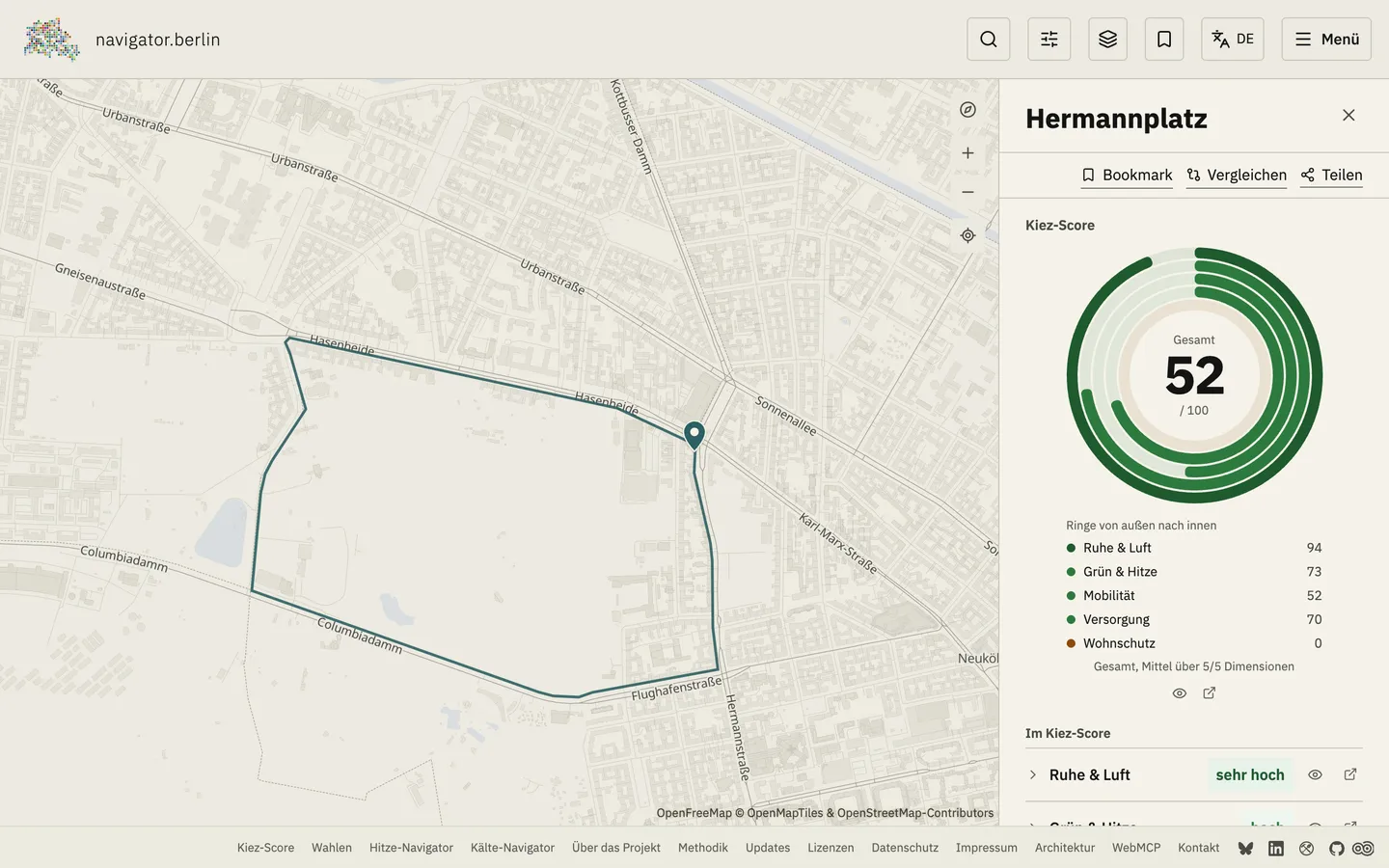
The Kiez-Score rates each of Berlin's 542 planning areas from 0 to 100, across five equally weighted dimensions. Culture and recorded crime stand next to the score as context, not inside it.
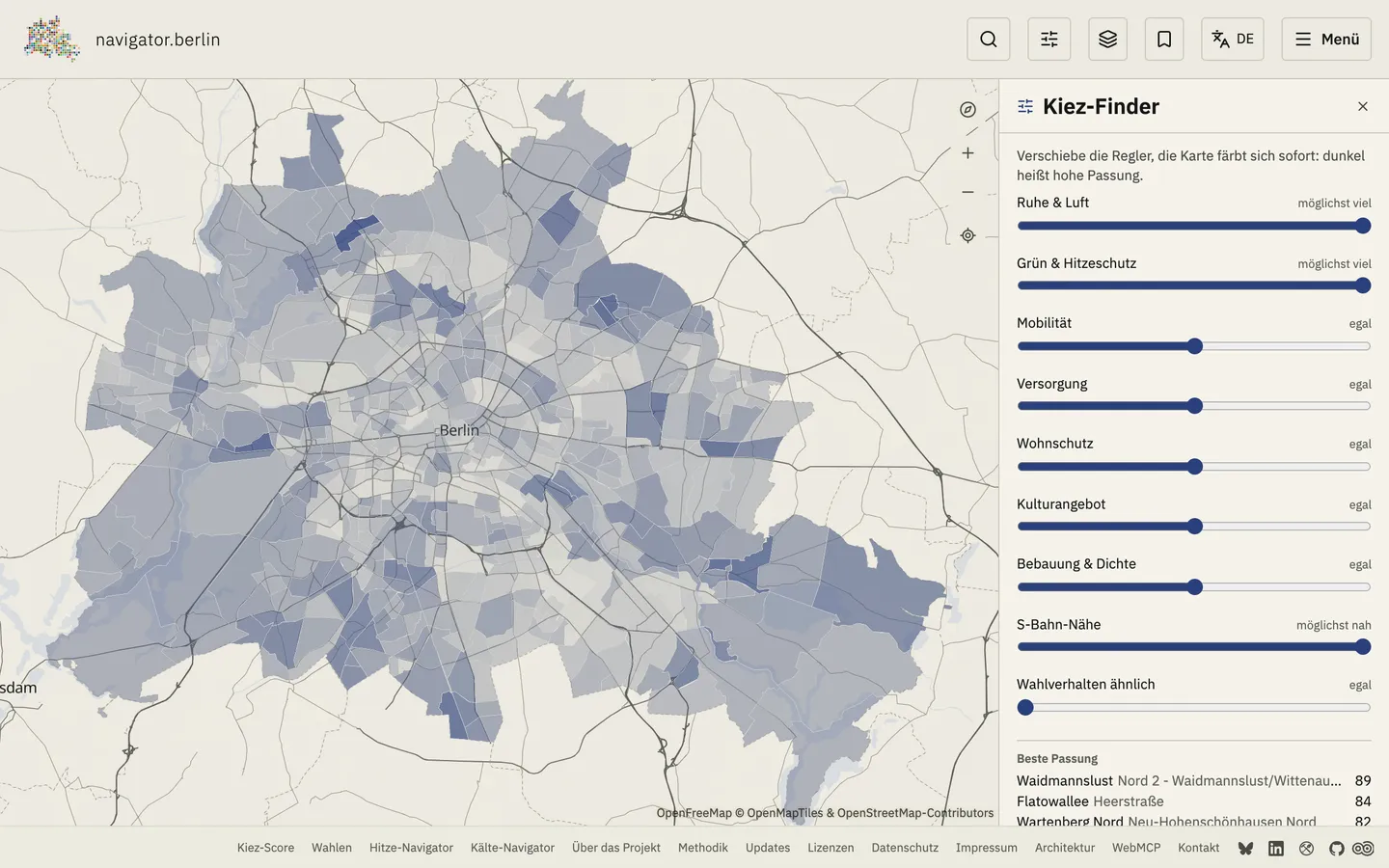
The Kiez-Finder works the other way round. Nine sliders ask what matters to you, and the map recolors all 542 planning areas while you move them.
Election results since 2011 show the strongest party per address and a map of 3,500 voting districts. Seasonal pages list cool places for summer and 227 warm places for winter.
Agents on the map
Eleven WebMCP tools, ten of them read-only, let browser agents look up addresses, query layers, compare elections and move the Kiez-Finder sliders. You watch the map change while the agent works.
How it was built
Built with the BMAD method and AI coding agents: PRD, architecture, 20 ADRs and the stories sit in the repository. An ADR makes tests come first. The Kiez profiles were written with Claude while authoring and committed as static text, so the live site makes no LLM calls.
The data comes from ODIS Berlin, the Umweltatlas, Geoportal Berlin, OpenStreetMap, the Bundeswahlleiterin, the Amt für Statistik Berlin-Brandenburg, the Berlin police and the DWD, each under its own open license. The site sets no cookies.